Cherry Creek State Park and Resevoir: round-trip

Trail riding the outermost trails going to southernmost point. Plenty of side trails and a surprising amount of dirt or gravel terrain. The paved trails are the busiest with notably fewer on quiet dirt single tracks.
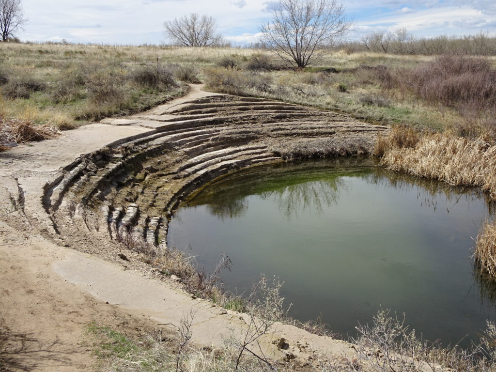
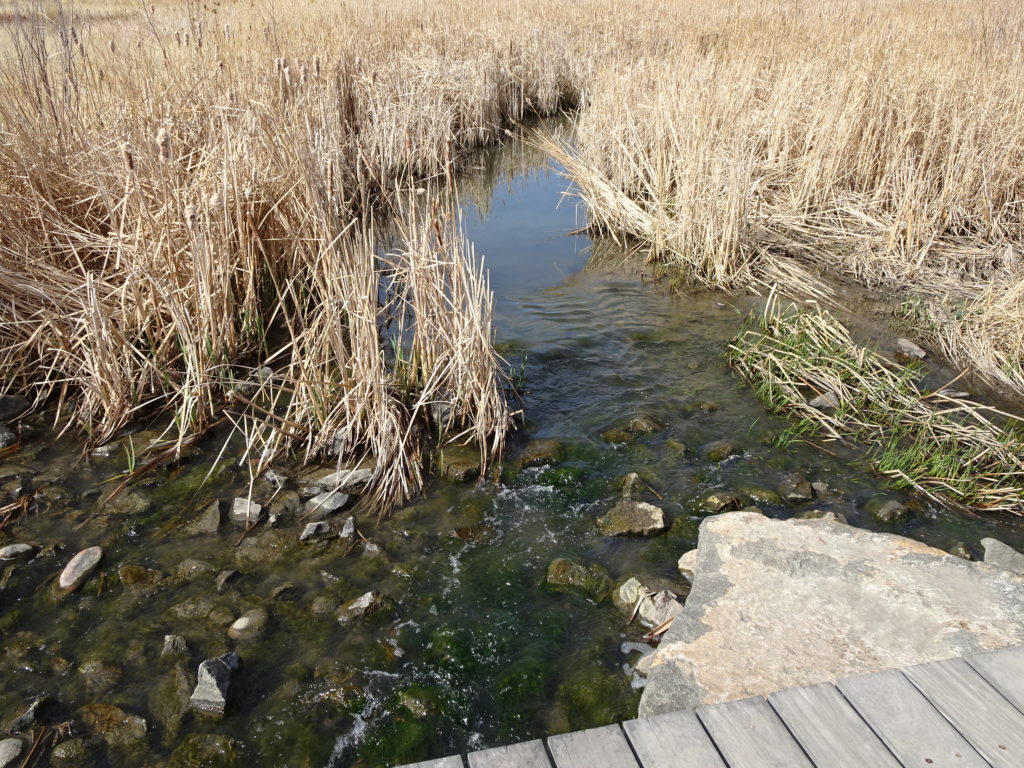
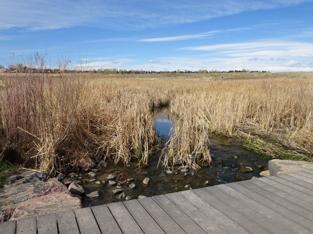
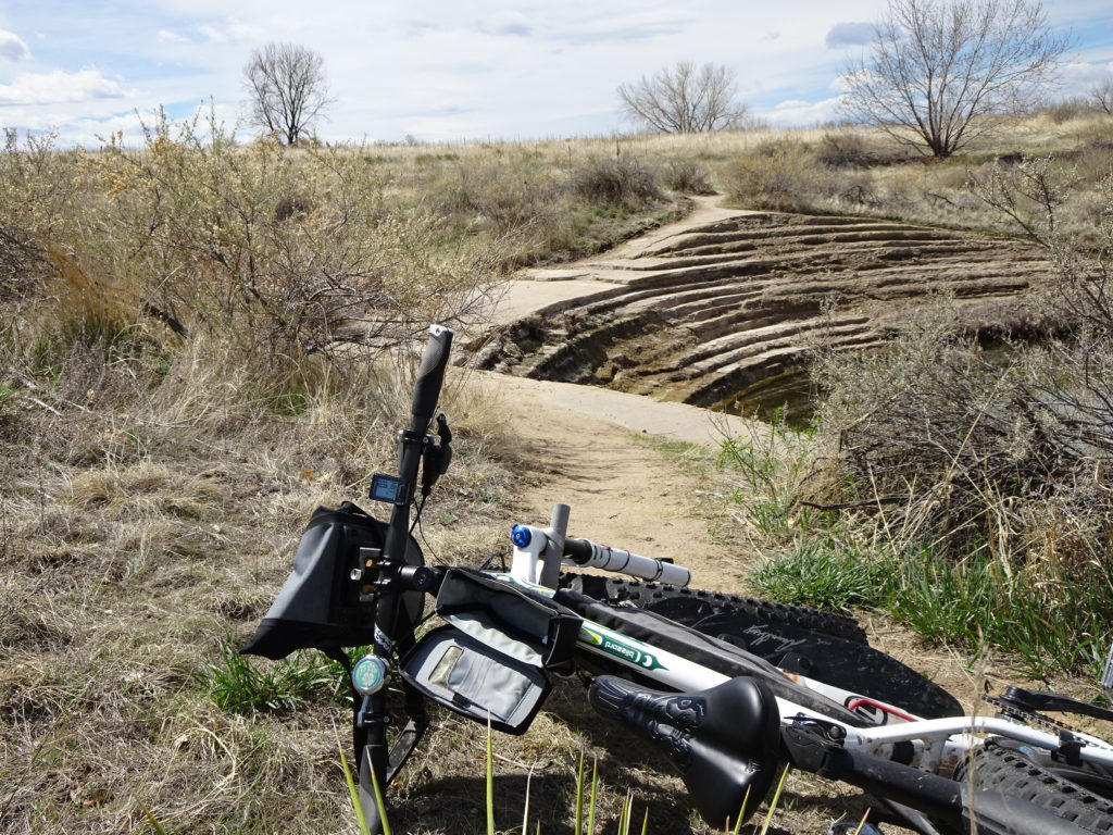
Some interesting flood management structures on the path up Shop Creek trail. Strange scalloped concrete berms with apparently Shop Creek running some water down to the reservoir. Berms looked like defined layers of poured concrete.

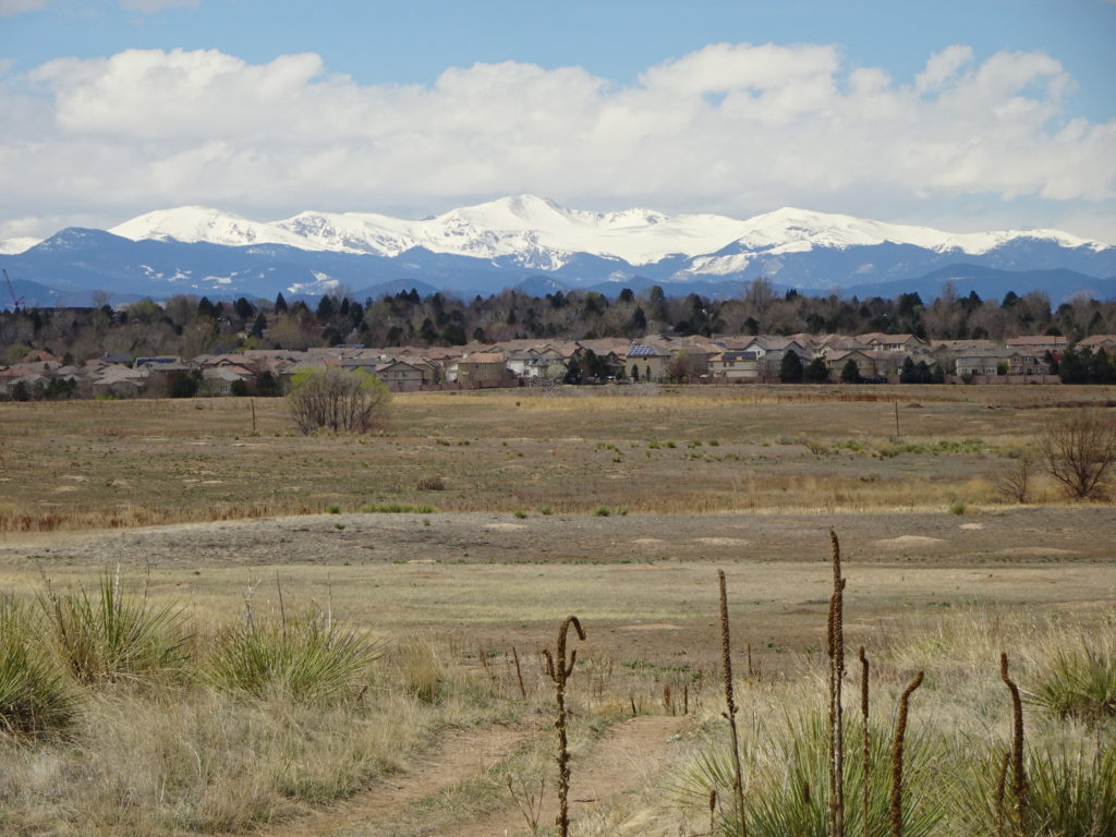
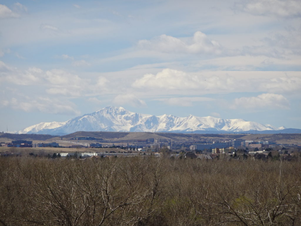
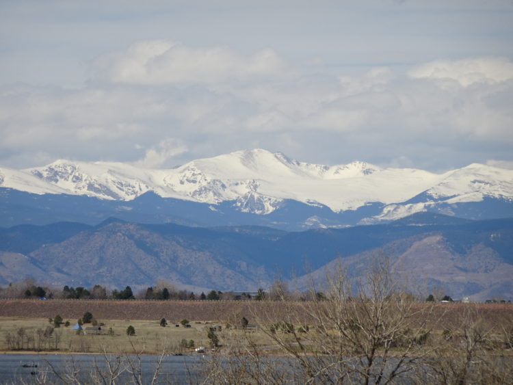
The views are great here as the distant mountains appear magnified with clear air letting color come through.

There were too many prairie dogs. Even the southwest park entrance has a bunch right adjacent the entry toll shack. I have at least 3 single tracks trails, going direct through the middle of some close clusters of burrows.

Above: I’m certain it’s man-made. The erosion is more like rock than concrete.
Above: Near Cherry Creek. Cattails
Above: View of Mount Evans with 6 layers. Sky, Woods, Condos, open field, prairie dog mounds, and immediate trail.
Above: Underpass at the Parker Rd RTD center and light rail station. First time I saw it.
Cat Tails and a piece of Cherry Creek.
Water is flowing through pipes or channels further below. There were five of these structures, and each one was ridden over the top lip trail. Accomplished readily on the fat bike.
The atmospheric magnification is see here clearly. The mountains are incredibly far away. and note how there appear to be no smaller mountains in the foreground.

Leave a Reply

Your email address will not be published. Required fields are marked *