Hidden Mesa Open Space – DougCo – Cherry Creek Terminus

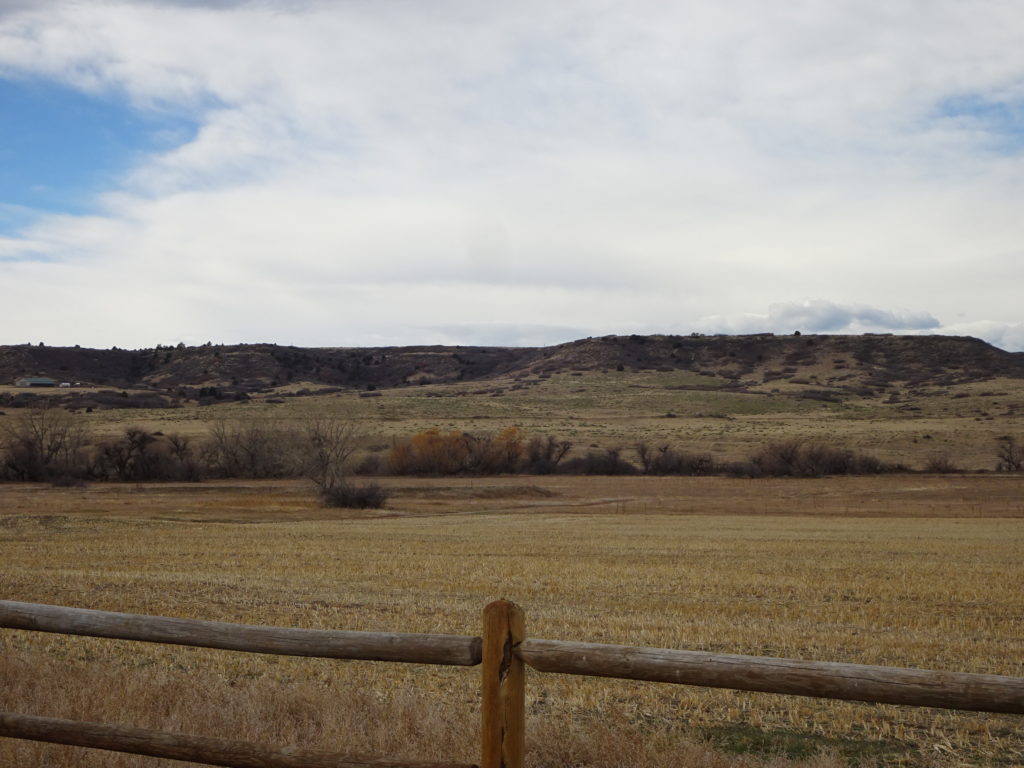
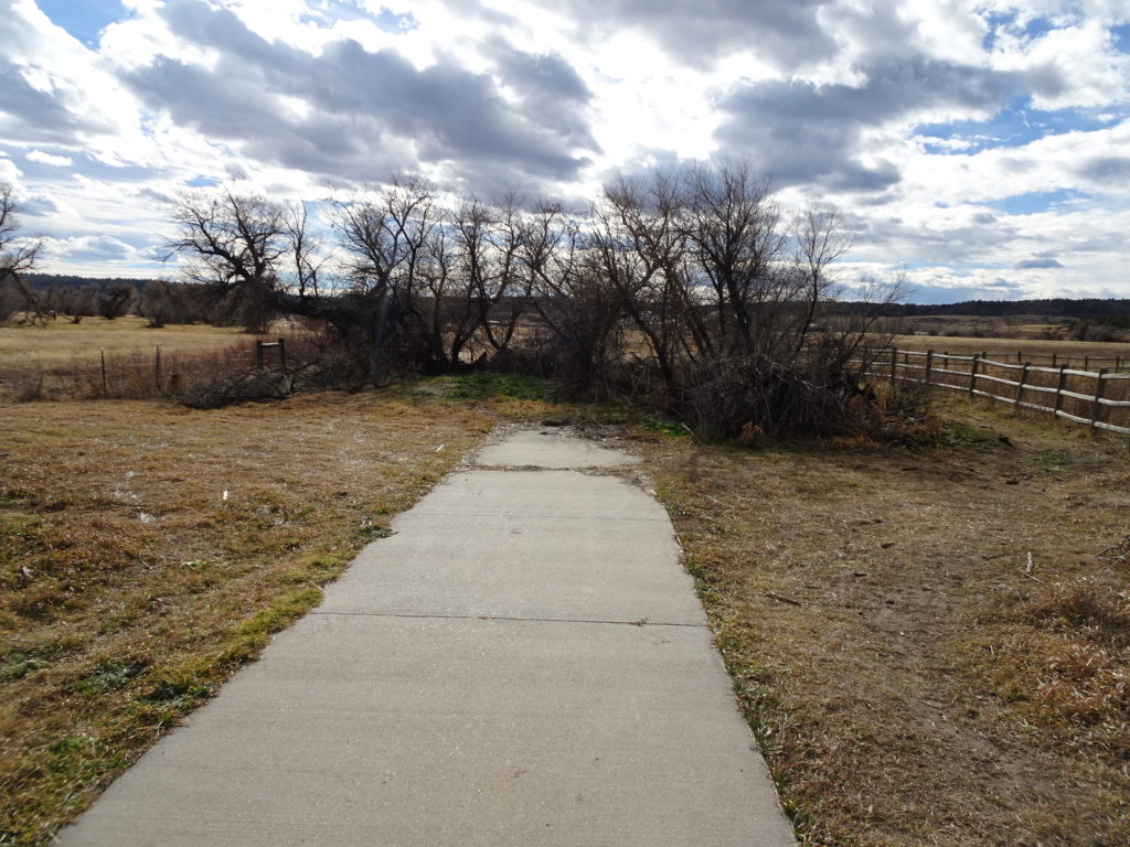
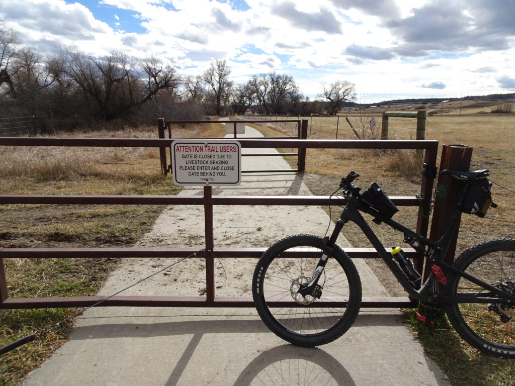
With research and google earth, I saw the miss on the southern terminus of the Cherry Creek Trail. Rode it today and picture included. I merely stops with ranchland surrounding.

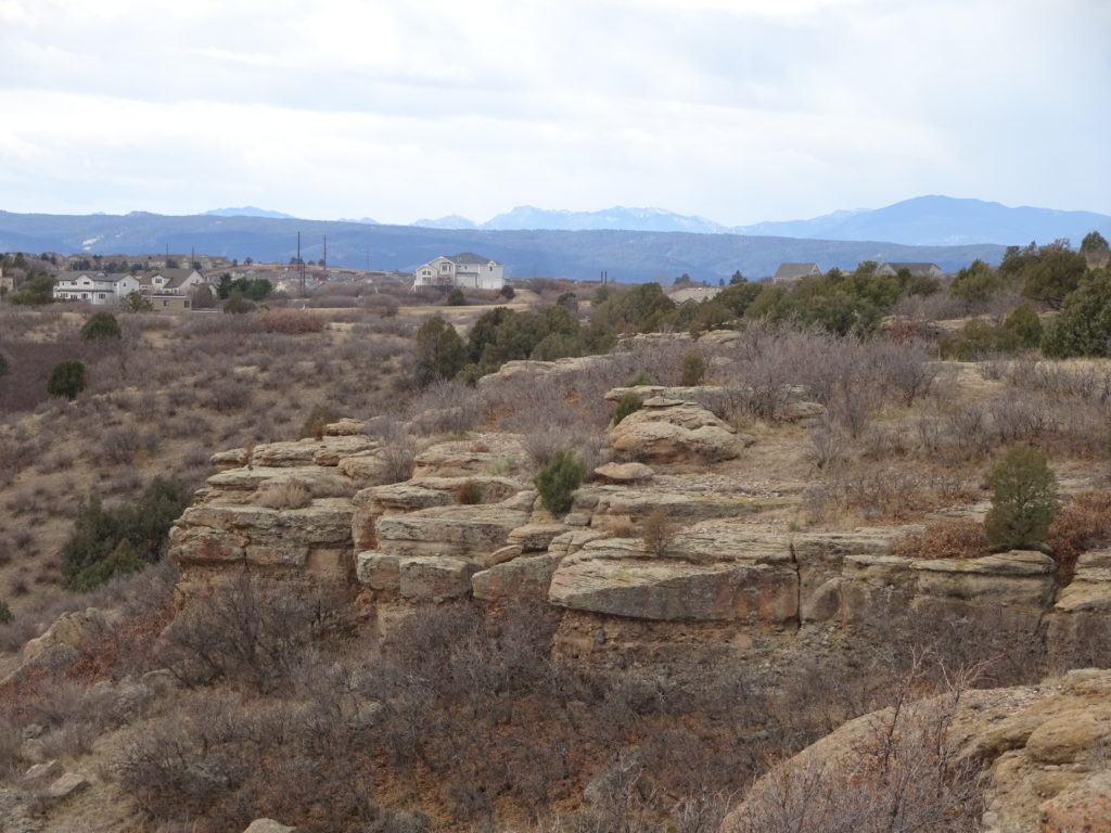
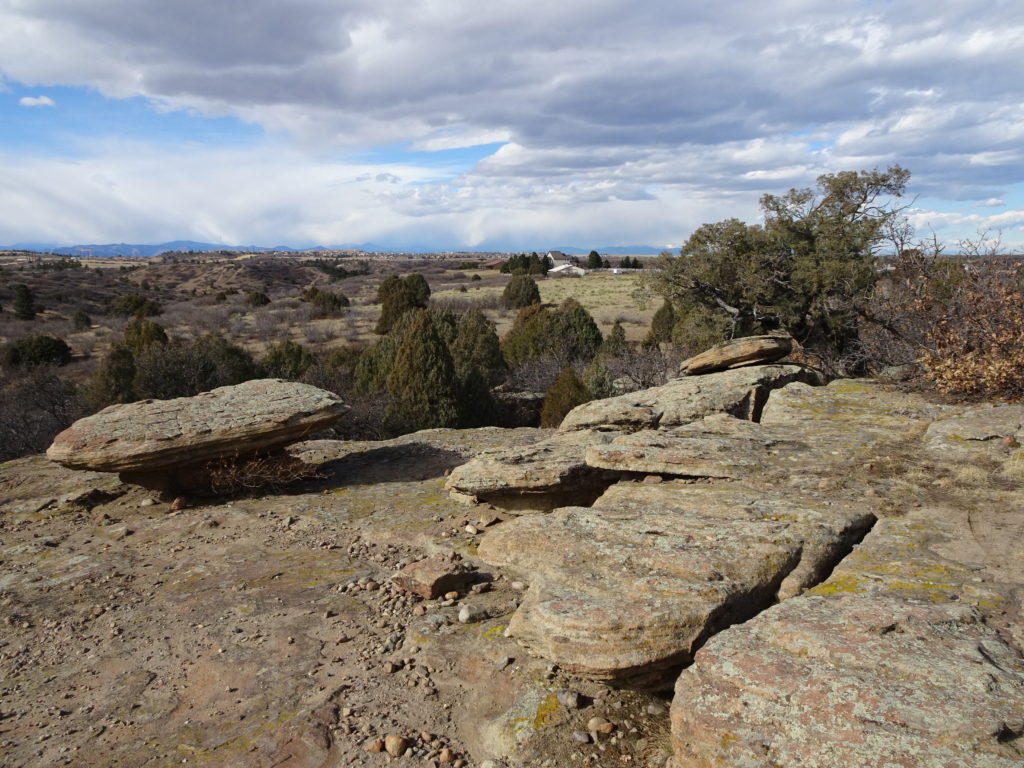
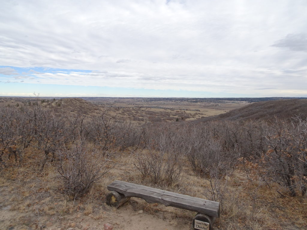
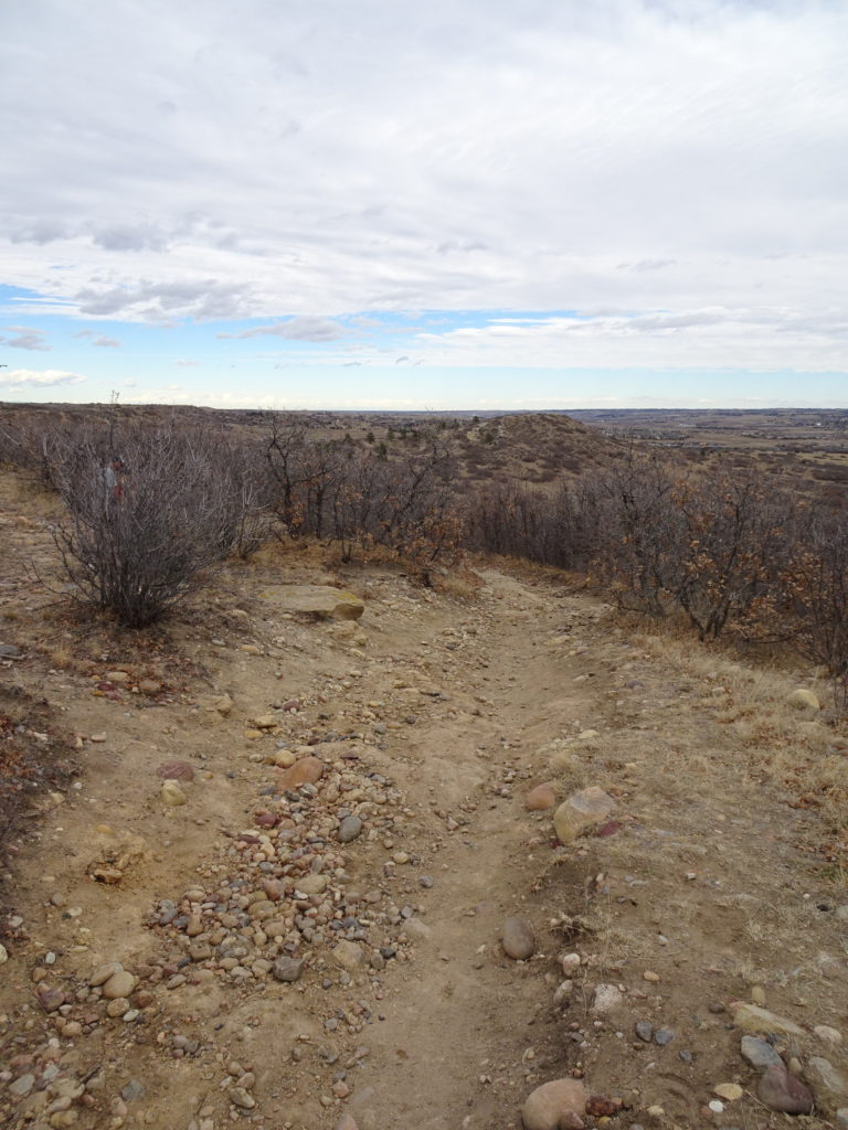
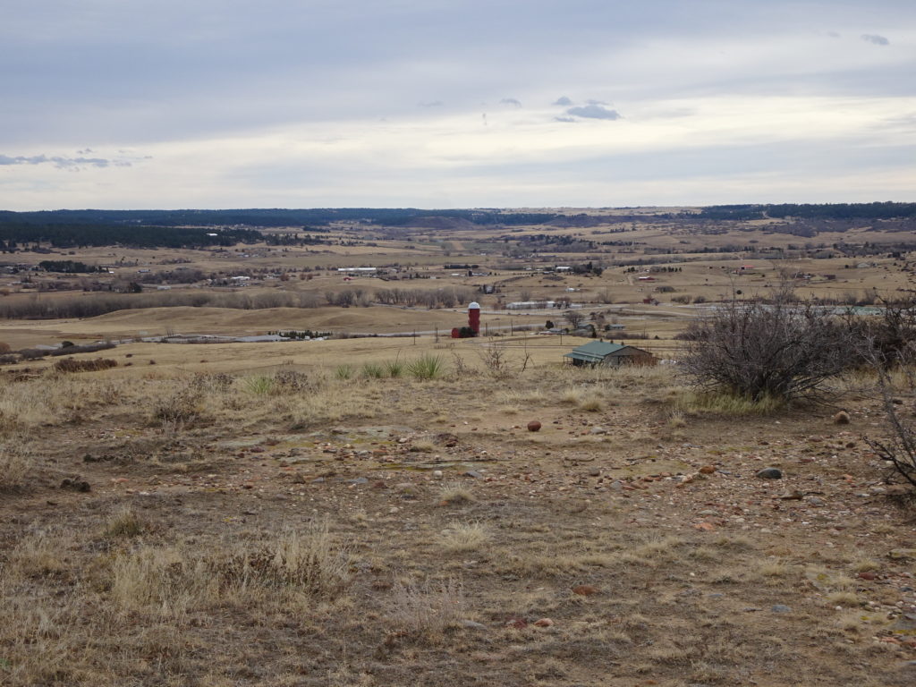
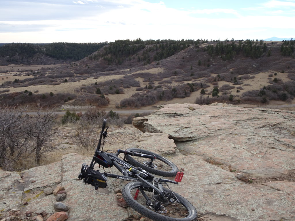
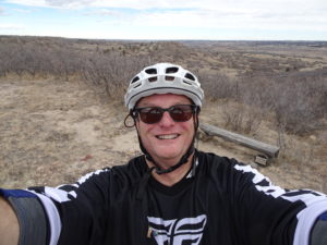
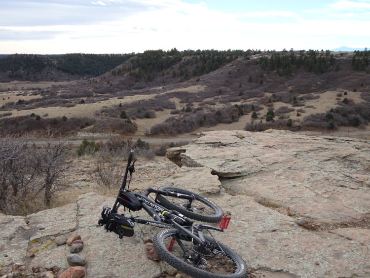
Tacked the Hidden Mesa Open Space and loops. Great fun with a surprising amount of slick-rock terrain at the top of the Mesa. Only a couple of very short rocky segments worth walking. The clockwise route I recommend and will do the same next time. There is a very fun descent from the top of the Mesa, nearly all the way to the Park and ride.

Above: Cliffs for the Mesa were between 50 and 100 ft.
Above a bit like eastern Colorado. A sort of balancing rock here.
View towards northeast. The trail up to this perch heads down directly into the valley.
Above: Only a few short segments of gnarly rock.
Facing west towards the Hidden Mesa Open space from the Trailhead lot.
Above: view south from the top of hidden mesa.
Trailside cacti.
Above: Overlook at the top of the mesa with cliffs a few feet away.
Cherry Creek Trail. End of the line just south of Franktown.
Above: common around ranches are gates like this through private land. Respect the cows.
Author with a goofy selfie.

Leave a Reply

Your email address will not be published. Required fields are marked *