Eric's photo blog site. You can start w/ link BEST OF POSTS at the top, or open any posting below. Once in a blog entry, you will see a list of all 150+ blog posts going back over 3 years. Each blog post has an average of 12 photos per blog entry. Nearly all photos taken from the saddle of my fat bike or mountain bike.
Day 2 – 11 Mile Canyon – Lake George CO – photos from Friday May 26, 2017. Fatbike fully rigged tourist fashion.
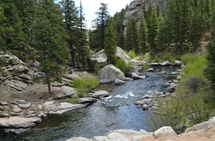
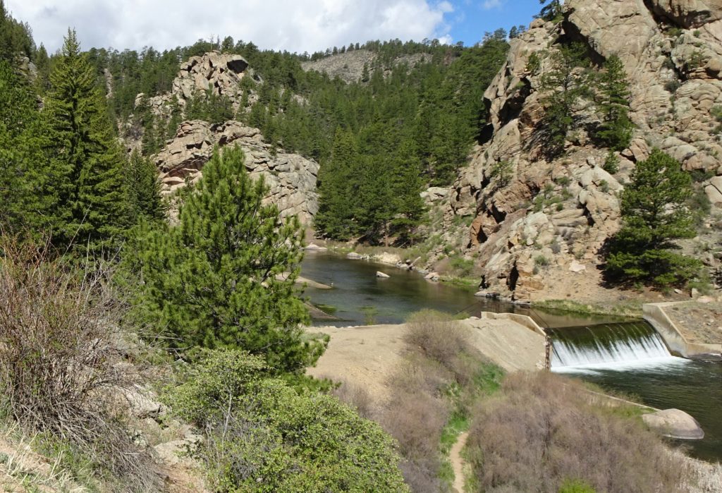
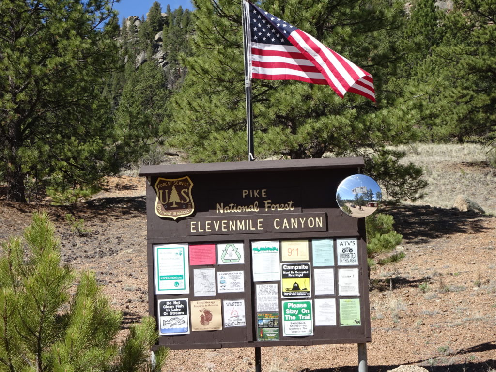
Here the S. Platte River spills from the dam above into this 11 mile canyon(actually 9). This is federal Forest Service land and accessible only from the bottom entryway. The dirt road used to have railroad tracks before the dam was built. Now it is a dedicated slice of heaven with steep canyon walls.
I drove to the top, and started an entirely downhill ride while video recording the ride with a chest mounted video camera. I’ll have a you_tube like in a couple of days since it will take a while to edit. On the ride up, I stopped frequently for photos and to explore. I was the only person on a bike the entire time. It was busy with fly fisherman, and rock climbing nut cases. There is limited camping inside the canyon. I was at the Blue Mountain campground, located outside the canyon but very close to the entrance to the canyon. I was surprised at how remote and untouched this place is.
There is a general store, a barely open cafe, and only a handful of sleepy business at Lake George. It seems that mostly locals were there to visit. But what a great day at a gorgeous canyon. It thundered occasionally and clouded up, but the rain kept away. I expected dicey weather but this was one of the best memorial weekend places to visit. The camp site was nearly perfect with deer at sunset, and no bears.
Best camping in a long while. The wood bundle only needed only one match and a handful of kindling to soon be warming toes.
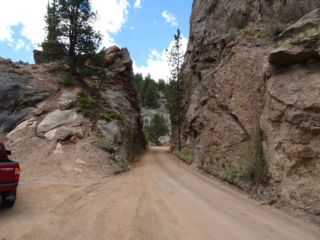
A couple of sections widened and opened up like this.
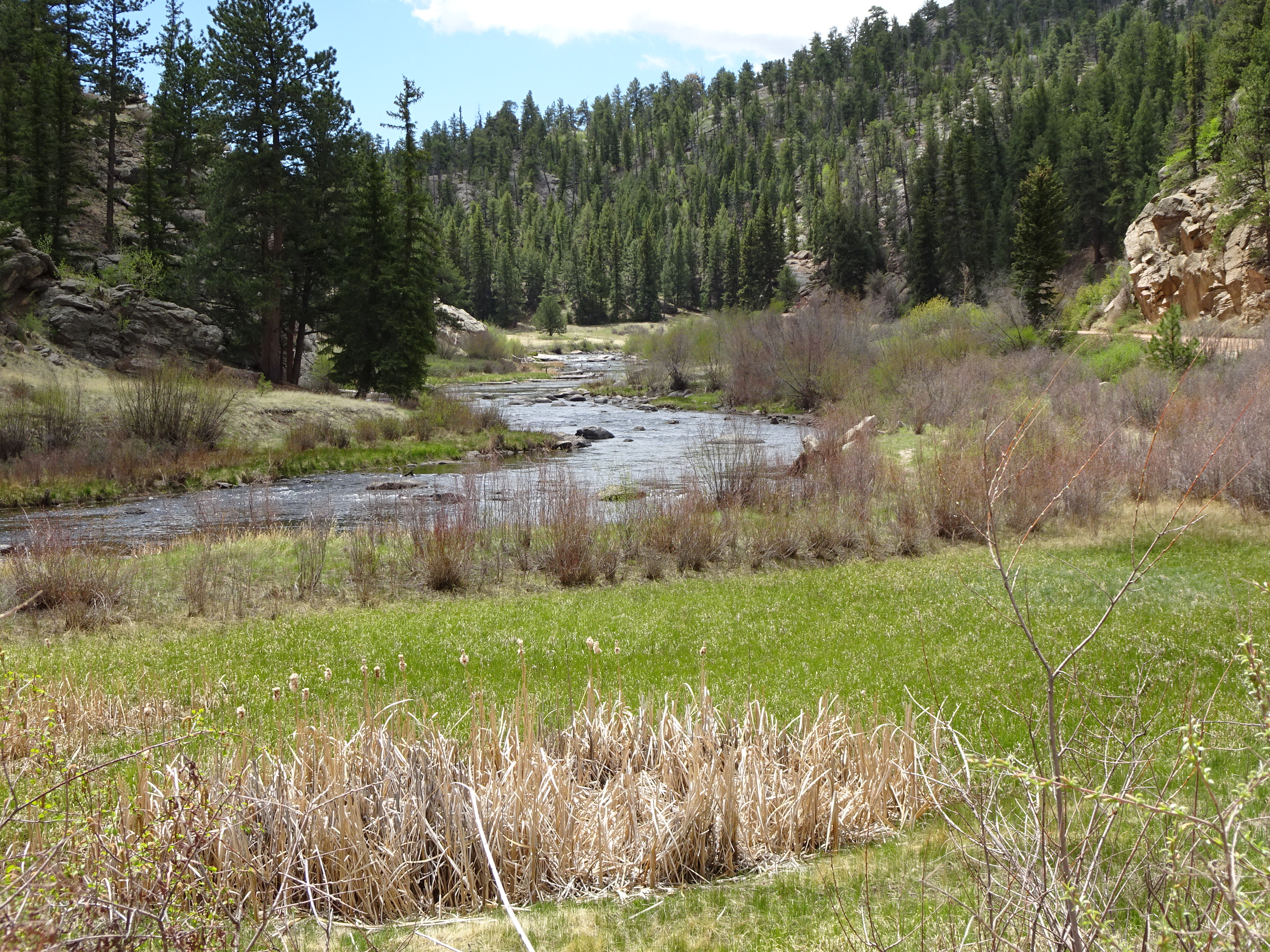
This is nearly the top of the canyon. There is a large campground up here. There is a short but steep hiking trail to an overlook, but my knees were not going to allow.
I did a careful re-framing of this photo to bring out the essence the shot. It fills the full image size with only what I want. An brings you closer. It appears I am at rivers edge, but I was zooming much further away with a tripod.
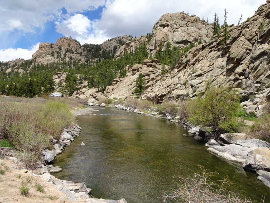
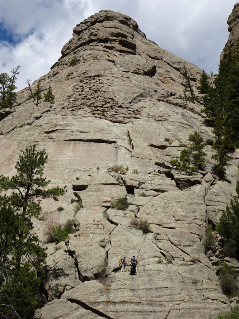
Larger Rock sections popular with the climbers were given a name.
Above is the first view you get as you enter 11 mile canyon. It is the sole man-made spillway. All else in natural.
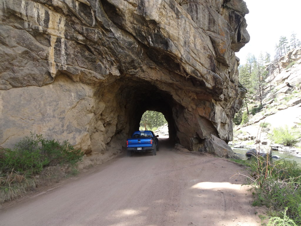
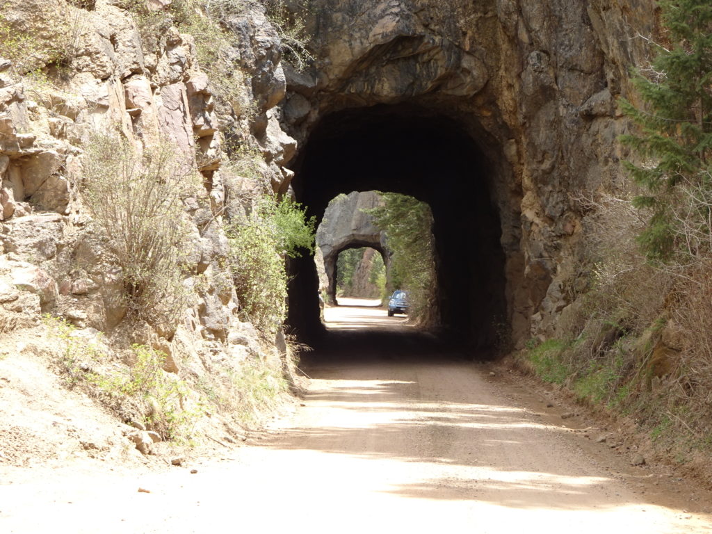
Tunnel 1 of 3. The entire canyon was comparable in a few ways to Waterton Canyon. Denver Water has an area at the top with what looks like 2-3 houses, an admin building, and a couple of large storage structures. You would see Denver Water vehicles up and down all day. Just like in Waterton Canyon.
Kind of an interesting notch.
Double Tunnel – total of three overall but this was in two pieces. The ceilings still have soot from the steam engine from the trains coming through here in late 1890s.
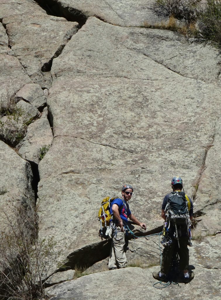
I am not able to fathom the mindset that would enjoy scaling a vertical like this.
The info only available at the guard shack has special maps for rock climbers. I read where over 100 climbing routes exist through the canyon. I read this used to be called Granite Canyon, and the rock seems well suited to climb.
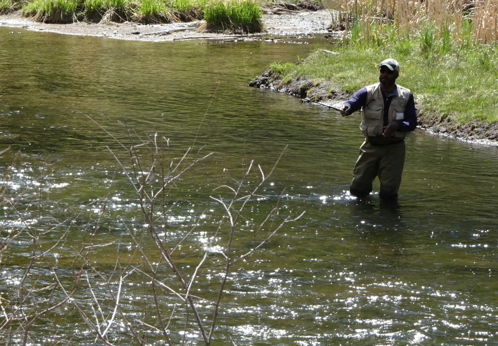
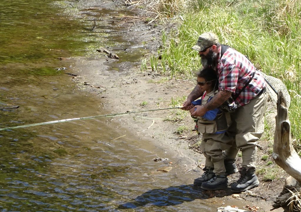
The water was very clear and you could see the fish in the water easily. Fly fishing looks like a lot of knot tying is expected. I saw over 20 fisherman but not one actually pulling one out. It was mid-day.
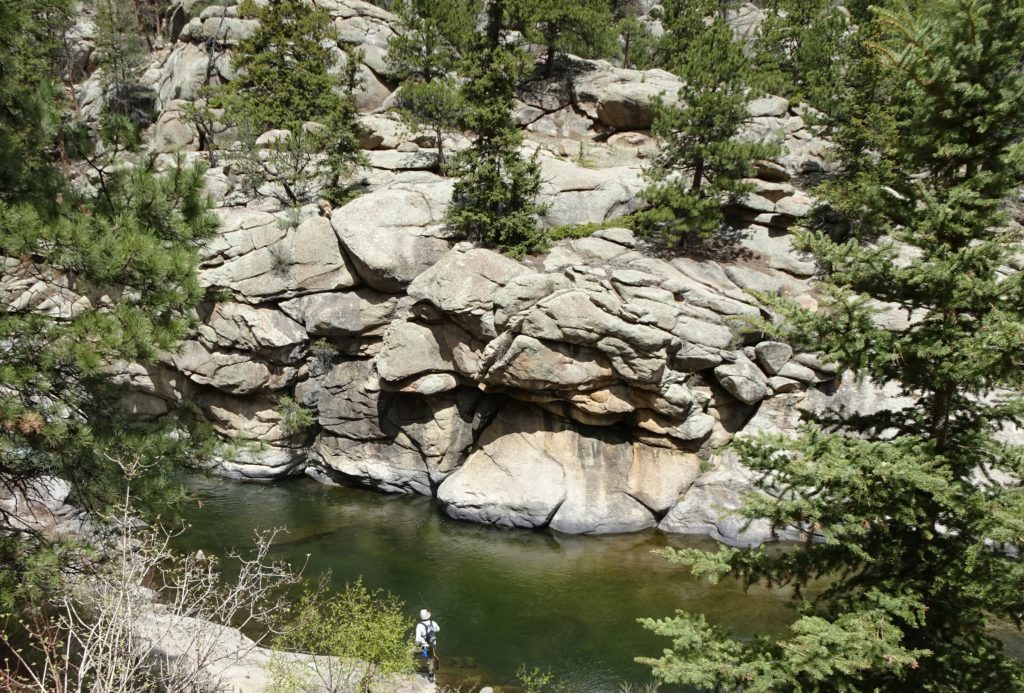
This shows how clear the water is. Here you were able to see 5 feet or more below this deep section.
Information on this place was very sparse to obtain. But very much worth a stop as you can ride up and be down in less than an hour, but you will want to spend a couple hours here.